Treasures of the Orient
Asia Antiqua - Blancardus c.1650
Asia Antiqua - Blancardus c.1650
Title: Asia Antiqua cum finitimis Africae et Europae Regionibus
Cartographer: Nicolaus Blancardus (Nicolas Blanckaert)
Published: Leiden, c. 1650–1690
Technique: Copperplate engraving with original hand-coloring
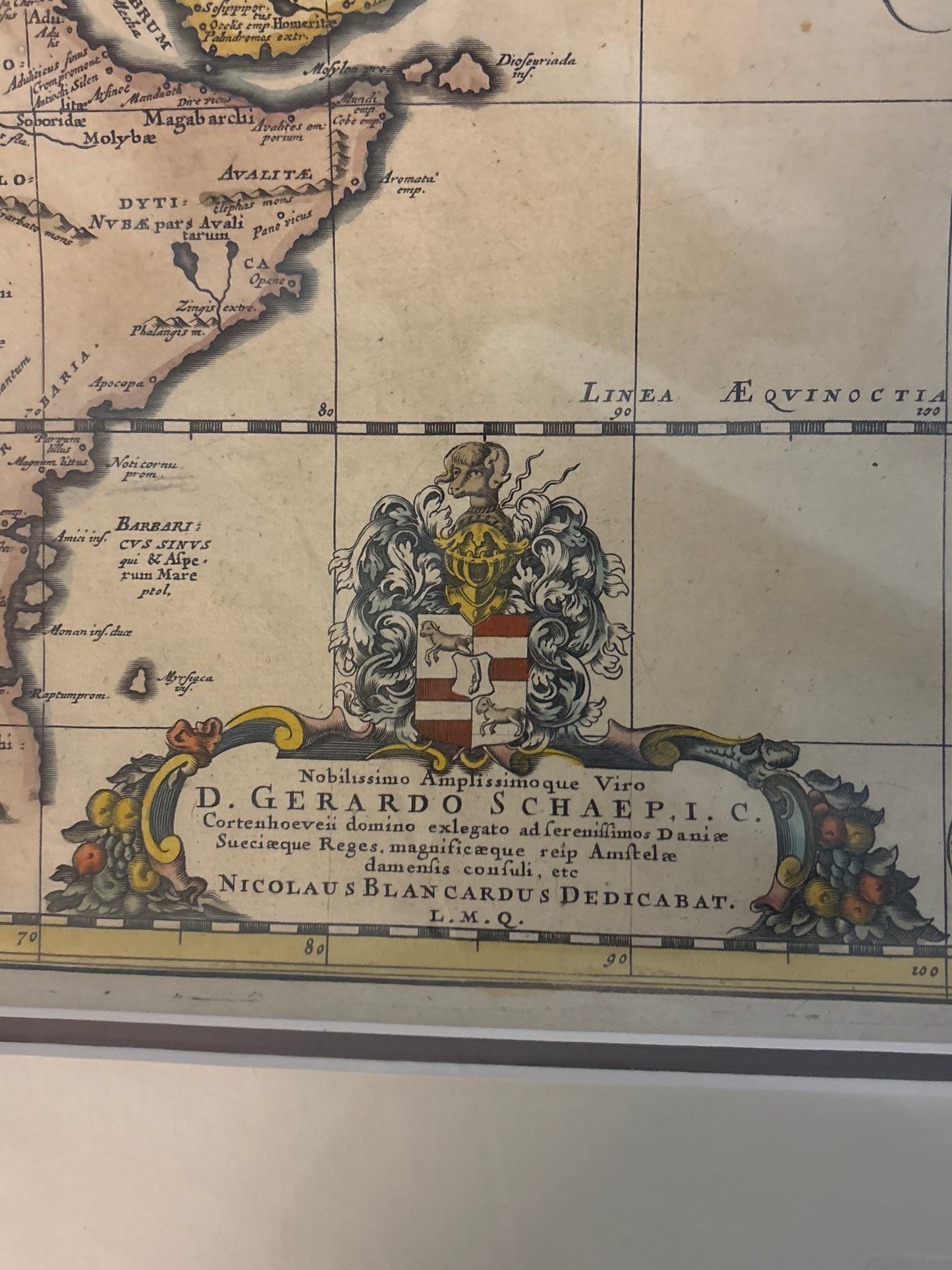
Description: This fascinating 17th-century map is a "historical" map, meaning it was designed to show the world as it was known in ancient times rather than the contemporary 1600s. It focuses on the territories explored by Alexander the Great and described by classical Greek and Roman geographers.
The map spans from the Mediterranean and the Nile in the west across the Persian Empire to the Indicus Oceanus (Indian Ocean) and the Ganges. A defining feature is the row of eleven circular vignettes along the bottom border, which depict ancient coins or medals representing different regions and rulers of Asia. The top right features a beautiful title cartouche held by cherubs, identifying Blancardus as the author. In the bottom left, a large, intricate coat of arms is dedicated to Gerardo Schaep, a prominent Dutch diplomat of the era.
-
Authenticity: Original 17th-century copperplate engraving.
-
Historical Significance: A key example of "scholar's cartography," where Renaissance mapmakers used their skills to reconstruct the ancient world.
-
Decorative Elements: Rare for its inclusion of the numismatic (coin) border and the heavy heraldic dedication at the bottom.