Treasures of the Orient
Map of Ceylon - Delisle 1723
Map of Ceylon - Delisle 1723
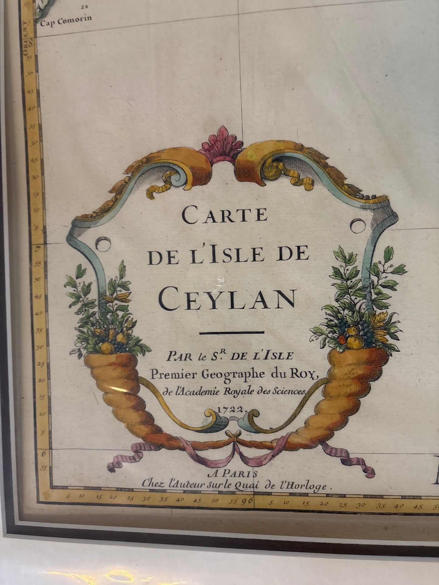
Title: Carte de l'Isle de Ceylan (Map of the Island of Ceylon)
Cartographer: Guillaume Delisle (1675–1726)
Published: Paris, 1723
Technique: Copperplate engraving with hand-coloring
Description: A landmark 18th-century map of Sri Lanka by the "Premier Géographe du Roi," Guillaume Delisle. This map represented a significant leap forward in the geographic accuracy of the island, moving away from the speculative shapes of earlier Dutch and Portuguese charts.
The map provides a detailed look at the political divisions of the island, specifically distinguishing between the Dutch-controlled coastal areas and the independent interior Royaume de Candy (Kingdom of Kandy).
Key Features:
-
The Kingdom of Kandy: The central mountainous region is clearly delineated, showing the defiant kingdom that remained independent of European colonial powers during this period.
-
Adam’s Peak: The map identifies "Pico d'Adam," the sacred mountain revered by multiple religions, which served as a major landmark for early mariners.
-
Pearl Banks: The "Côte de la Pescherie" (Fishery Coast) and the "Banc de Perles" are noted off the northwest coast, highlighting the island's famous pearl industry that attracted European traders for centuries.
-
Decorative Cartouche: The title is framed by an elegant, symmetrical cartouche featuring "Cornucopia" (horns of plenty) overflowing with tropical fruits and flora, symbolizing the richness of the island.