Treasures of the Orient
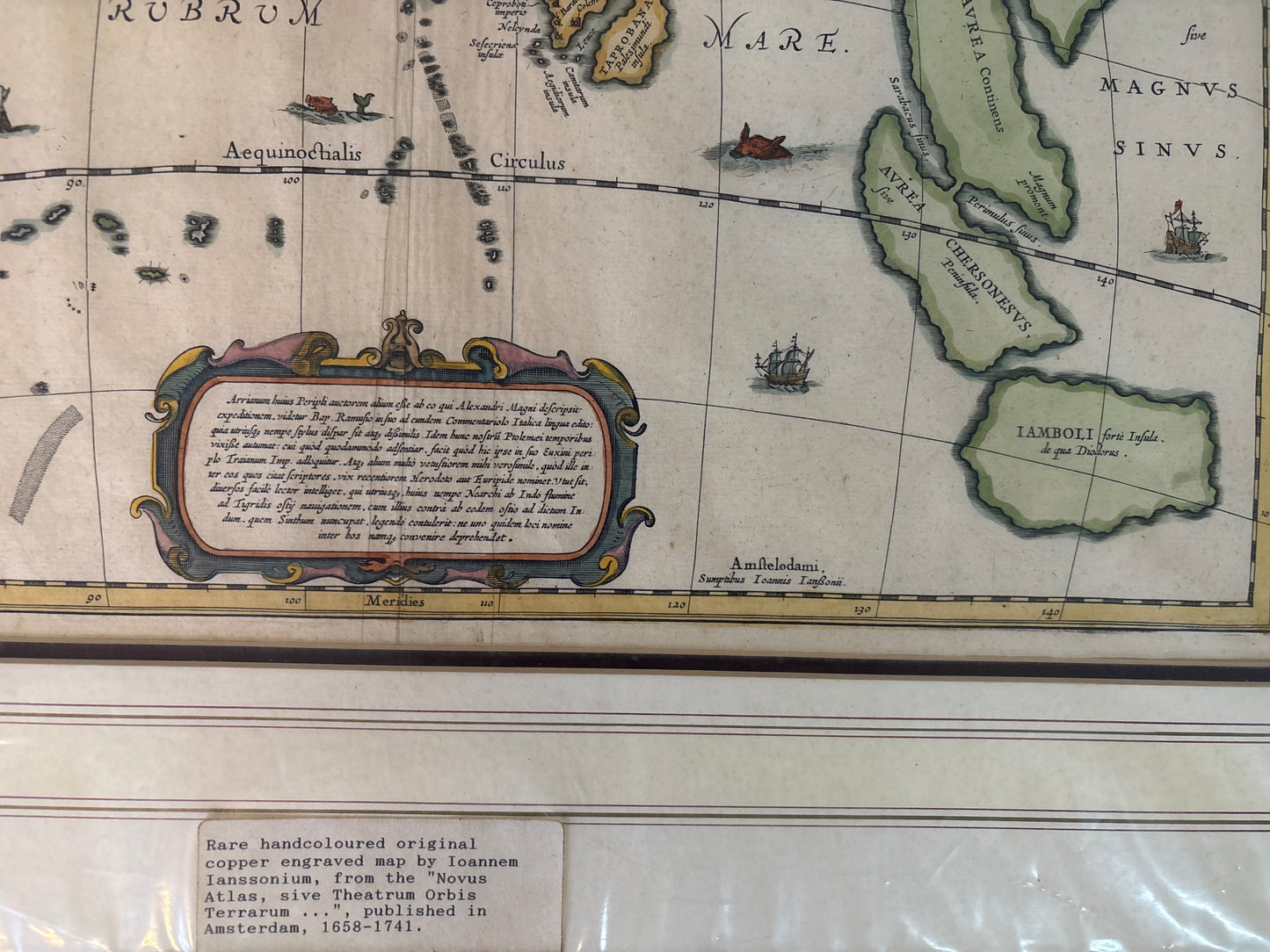
Erythraei Sive Rubri Maris Periplus (Voyage Around the Erythraean) - Ortelius c.1597
Erythraei Sive Rubri Maris Periplus (Voyage Around the Erythraean) - Ortelius c.1597
Title: Erythraei Sive Rubri Maris Periplus (Voyage Around the Erythraean or Red Sea)
Cartographer: Abraham Ortelius (1527–1598)
Published: Antwerp, c. 1597–1624
Technique: Copperplate engraving with professional hand-coloring
Description: A masterpiece of historical cartography by Abraham Ortelius, this map illustrates the "Periplus of the Erythraean Sea," an ancient Greek maritime log describing trade routes from the Roman Empire to India and beyond. Unlike Ortelius’s contemporary maps, this work was intended to educate 16th-century scholars on the geography of antiquity.
The map covers the Indian Ocean (then called the Erythraean Sea), stretching from the East African coast across the Arabian Peninsula to India and the Malay Peninsula.
Key Features:
-
The "Golden Chersonese": To the far right, the Malay Peninsula is labeled as "Aurea Chersonesus," the classical name for the region famed for its gold and spices.
-
Classical Nomenclature: Every label on the map is derived from ancient Greek and Roman texts. You will see "Taprobane" (Sri Lanka) and "Sinus Gangeticus" (Bay of Bengal).
-
Inset Maps: The top left features an inset of the Nile's source, while the top right shows a polar projection of the northern hemisphere, reflecting the Renaissance fascination with global connectivity.
-
Decorative Artistry: The map is embellished with a sea monster and three distinct sailing vessels, typical of the late 16th-century Antwerp style. The large, colorful title cartouche is a hallmark of the Ortelius aesthetic.