Treasures of the Orient
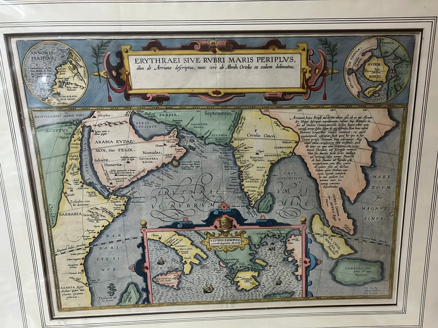
Erythraei Sive Rubri Maris Periplus - Ortelius 1608
Erythraei Sive Rubri Maris Periplus - Ortelius 1608
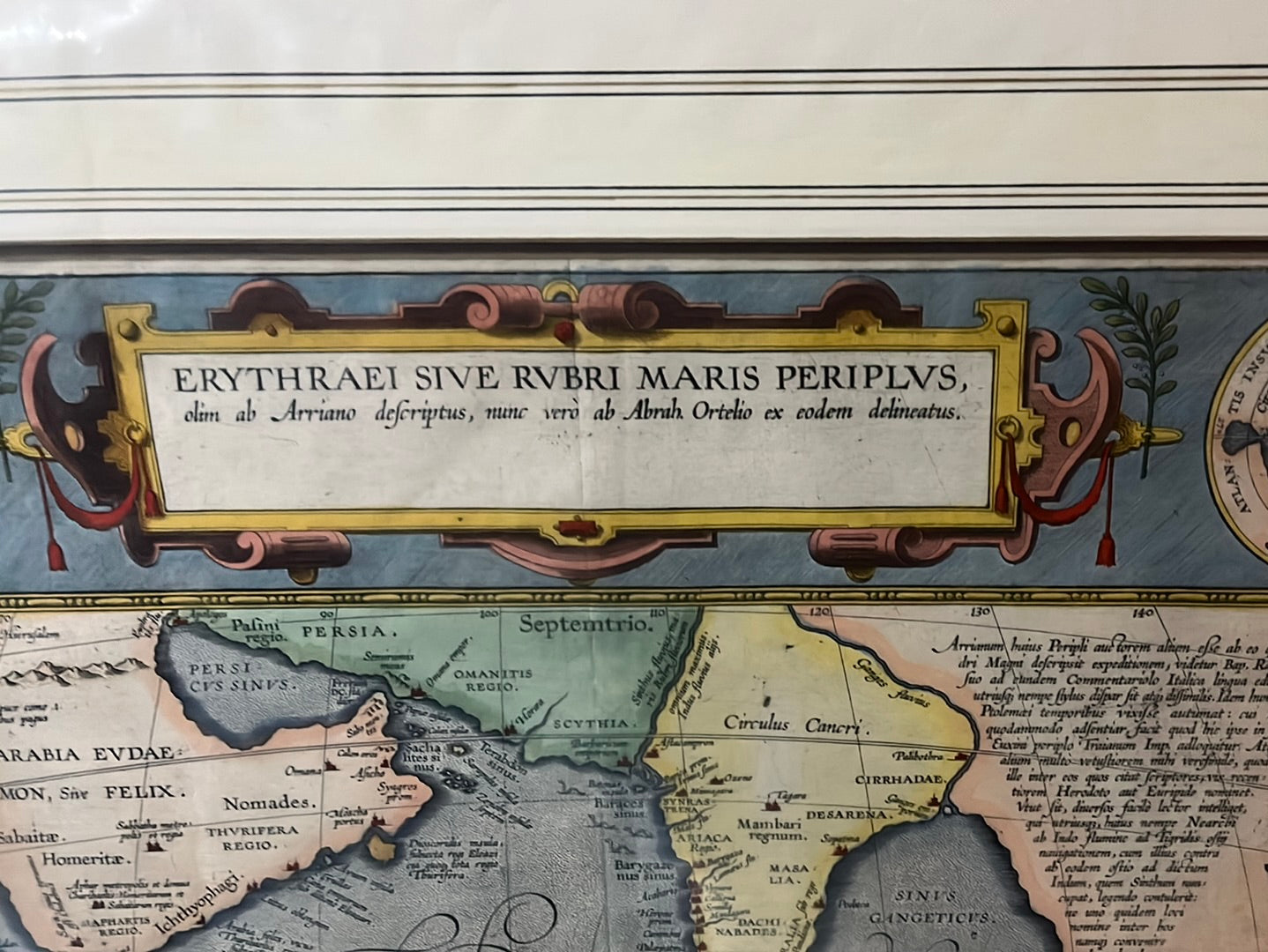
Title: Erythraei Sive Rubri Maris Periplus
Cartographer: Abraham Ortelius
Origin: Antwerp, Belgium
Date: c. 1597
Technique: Copperplate engraving with original hand-colouring
The Narrative: A Renaissance Bridge to Antiquity
In the late 16th century, while Dutch and Portuguese explorers were physically charting the spice routes of the East, Abraham Ortelius was conducting a different kind of exploration: a journey through the "lost" texts of the Roman Empire. This map is the result of that intellectual voyage. It illustrates the Periplus of the Erythraean Sea, a maritime logbook written by an anonymous Greek merchant in the 1st century AD.
At a time when the world was rapidly expanding, Ortelius created this map to show his contemporaries that the "New World" they were so proud of had ancient roots. It tells a story of a time when the Indian Ocean was not a place of colonial trade, but a mythical sea of gold, incense, and classical adventure.
Key Narrative Elements
-
The "Golden Chersonese" (Malaya): On the far right, the Malay Peninsula is depicted as the Aurea Chersonesus. To the Romans and the Renaissance scholars who read their texts, this was a land of legend—thought to be the Biblical "Ophir" from which King Solomon fetched gold. This map captures the exact moment when Western imagination first began to fixate on the riches of the Far East.
-
Alexander the Great’s Admiral: The map traces the phantom path of Nearchus, the commander who led Alexander the Great’s fleet from the mouth of the Indus River back to Persia. It serves as a visual tribute to one of history's greatest military and naval retreats.
-
The Odyssey Inset: At the bottom center, Ortelius includes the "Errors of Ulysses." By placing the wandering path of Odysseus (Ulysses) directly beneath the Indian Ocean, Ortelius invites the viewer to see all of sea travel as a heroic, almost mythological struggle. He bridges the gap between scientific geography and epic poetry.
-
The Clash of Knowledge: The two circular insets at the top corners tell perhaps the most important story of the 1590s. One shows the world as the ancients saw it (centered on the Mediterranean), while the other shows the 16th-century globe including the Americas. It is a humble acknowledgment by Ortelius that while he respects the ancient masters, the modern age has finally surpassed them.
Aesthetic & Collector Notes
The map is framed in a heavy Renaissance "strapwork" cartouche, a style meant to mimic the ornate architectural stonework of 16th-century Antwerp. The hand-colouring is period-correct, utilizing rich ochres and deep blues that emphasize the oceanic focus of the work. For a collector in Singapore or Malaysia, this map represents the very beginning of the region's appearance in Western printed cartography, cloaked in the mystery of the "Golden Peninsula."

