Treasures of the Orient
George Town Penang, 1912
George Town Penang, 1912
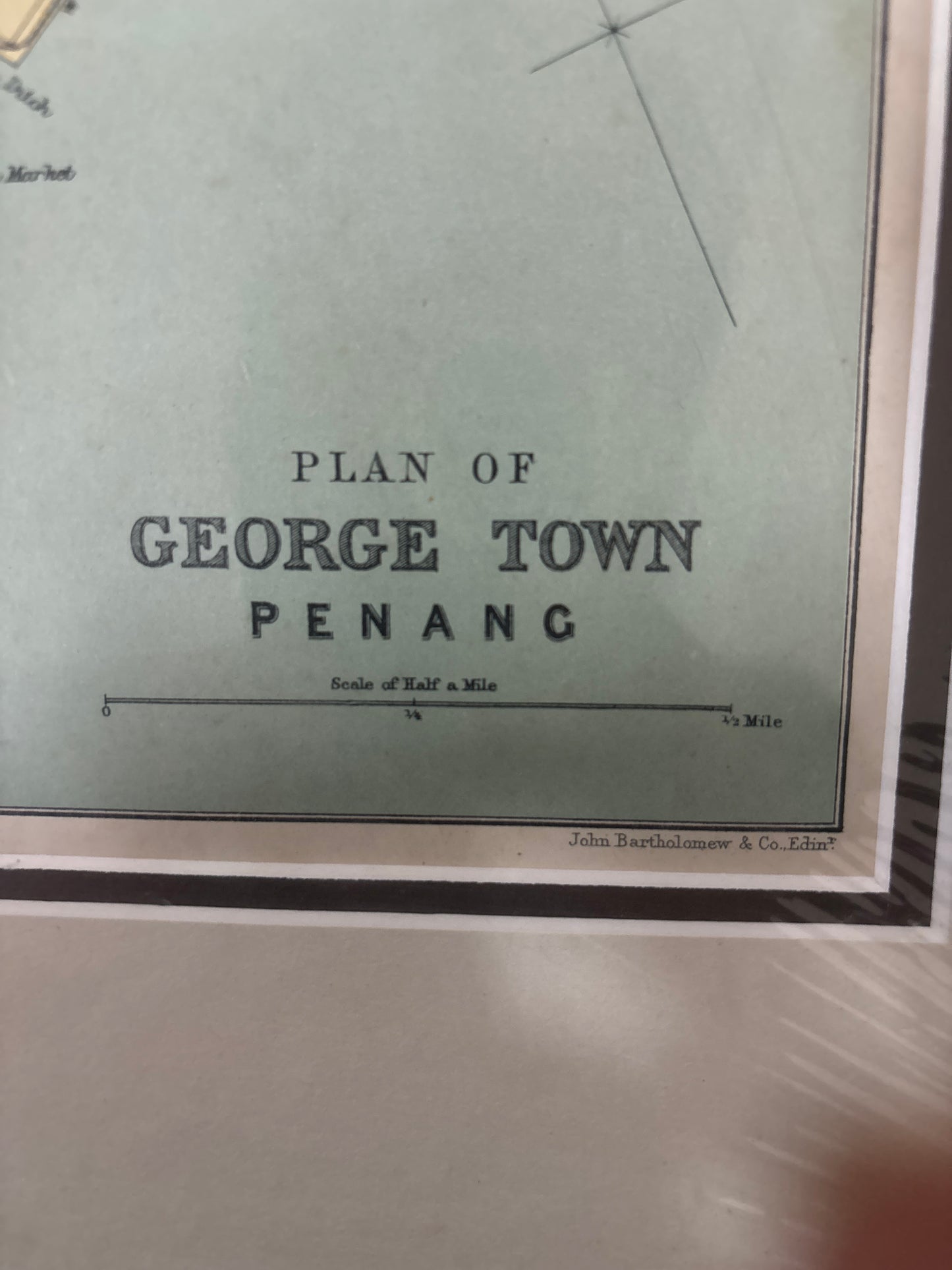
Title: Plan of George Town, Penang
Cartographer: John Bartholomew & Co. (for the Directory & Chronicle)
Origin: Hong Kong / Edinburgh
Date: 1912
Technique: Color-printed lithograph
The Narrative: A Colonial Port at the Height of its Power
By 1912, George Town had evolved from a fledgling trading post into one of the most vital hubs of the British Straits Settlements. This map tells the story of an orderly, thriving colonial city at its Edwardian peak. Unlike the decorative sea charts of the previous centuries, this is a "working map," designed for the merchants, administrators, and travelers who navigated the streets of the "Pearl of the Orient" just two years before the outbreak of World War I.
It captures a moment in time when the British administrative footprint was firmly stamped onto the landscape, yet the indigenous and immigrant names of the districts—Kelawai, Telok Ayer Raja, and Dato Kramat—remained the lifeblood of the city's geography.
Chronicles of the Map
-
The Heart of British Administration: In the top right corner, clustered around the harbour, you can see the nerve center of the colony: Fort Cornwallis, the Town Hall, and the Esplanade. This small grid represents the seat of power from which the British governed the shipping lanes of the Malacca Straits.
-
The Race Course & Leisure: To the left, the large oval of the Race Course and the surrounding Golf Club and Residency tell the story of colonial social life. This area was the enclave of the British elite, situated away from the humid bustle of the commercial waterfront.
-
A Multilingual Landscape: The map is a fascinating linguistic record. It blends English administrative terms like "Military Lines" and "General Hospital" with local Malay district names. You can trace the path of the Sungai Pinang river at the bottom, which served as a natural boundary for the expanding town.
-
John Bartholomew’s Precision: The map was produced by the world-renowned Edinburgh firm of John Bartholomew & Co. Known for their clarity and accuracy, they utilized a subtle color-coding system to distinguish between land, water, and key parklands, a hallmark of modern 20th-century cartography.