Treasures of the Orient
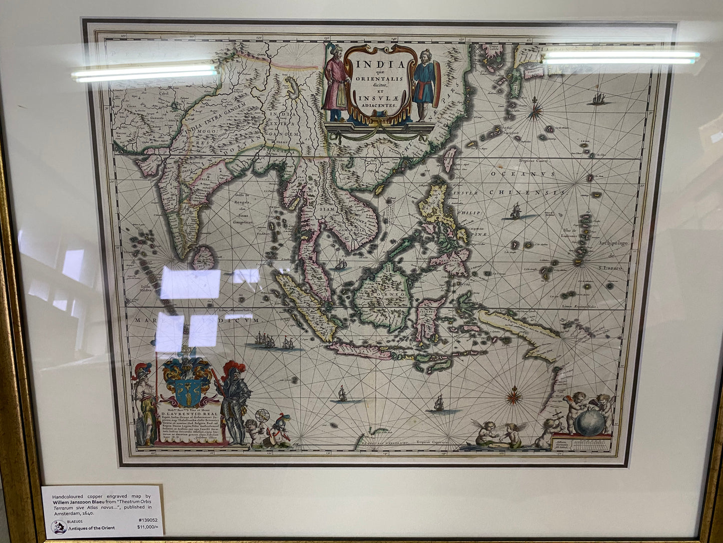
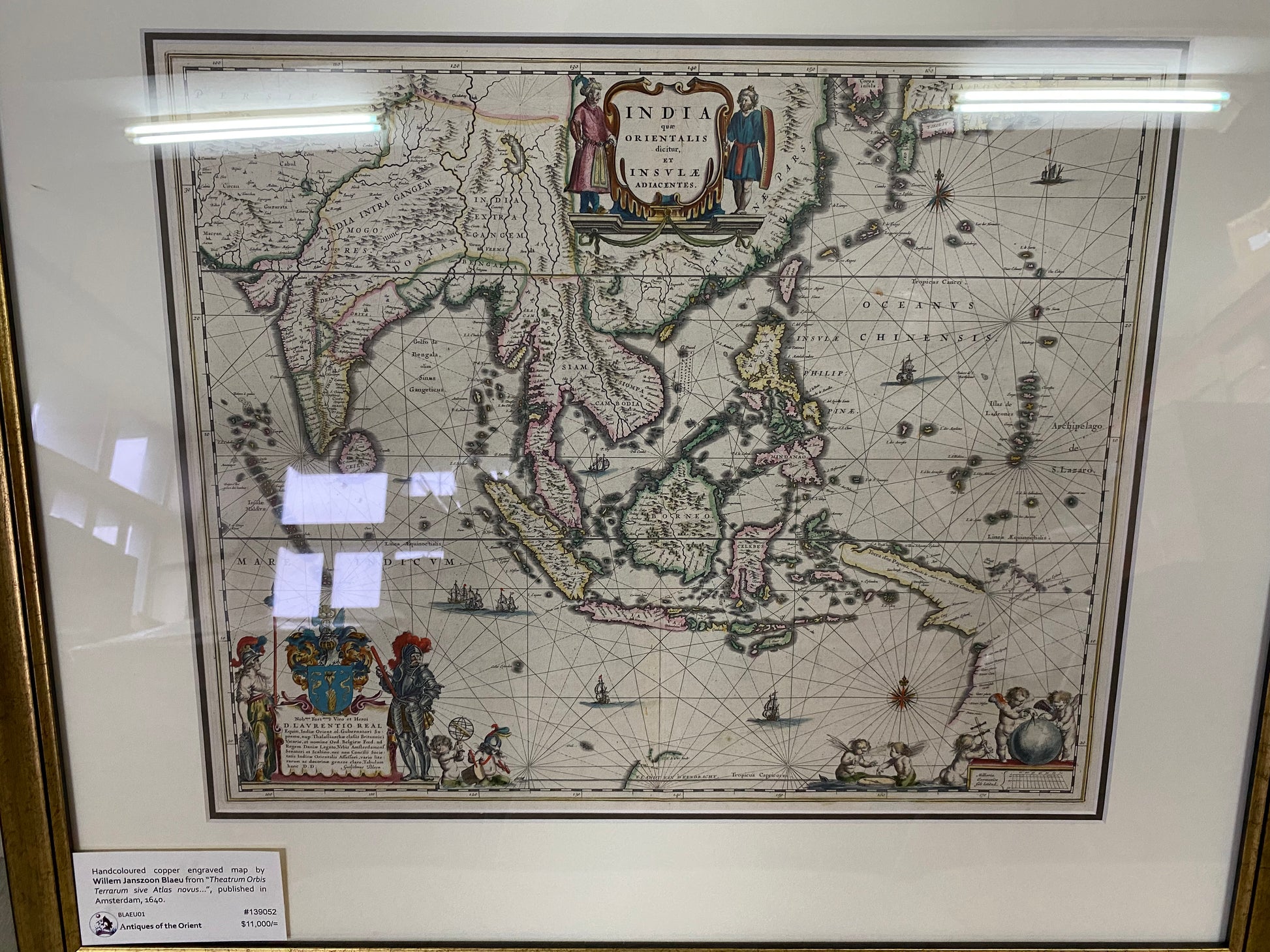
India Quae Orientalis - Bleau 1640
India Quae Orientalis - Bleau 1640
Couldn't load pickup availability
Map Title: India quae Orientalis dicitur et Insulae adiacentes
Year: c1640
By: Willem Janszoon Blaeu (1571 – 1638)
Description: Map of Southeast Asia, showing India and Tibet on the left, and reaching to Japan and New Guinea on the right. The map was possibly few of the earliest show early discoveries in Australia by the Dutch.
Size: 60 x 50.5 cm
Shipping
Shipping
Professionally packed and competitive shipping rates offered
Dimensions
Dimensions

-
Competitive Shipping
Competitive worldwide shipping available, We also understand how important it is for the maps to be professionally packed for shipping, so you can trust that to us as well.
-
Authenticity Guarantee
Our maps are sourced only through original books, which are then cleaned, handcoloured, and framed. We also have in-house experts to verify the authenticity of our maps before sale. We do not buy maps from third parties.
