Treasures of the Orient
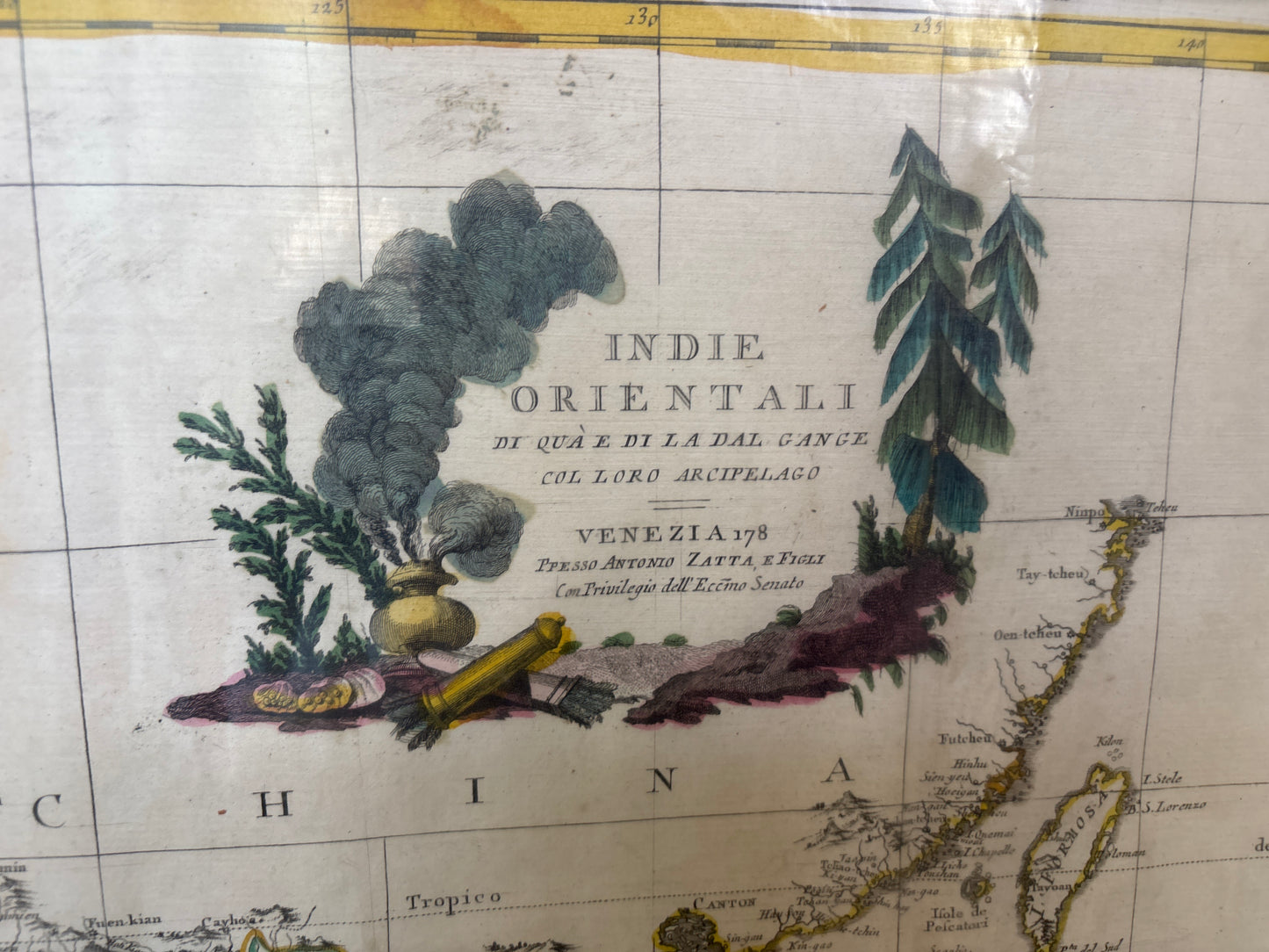
Indie Orientali Di Qua E Di La Dal Gange Col Loro Arcipelago - Zatta 1778
Indie Orientali Di Qua E Di La Dal Gange Col Loro Arcipelago - Zatta 1778
Indie Orientali Di Qua E Di La Dal Gange Col Loro Arcipelago
Drawn by: Antonio Zatta (Engraved by G. Pitteri)
Published in: Venice
Year: 1778
From: Atlante Novissimo
A Detailed 18th-Century Survey of Southeast Asia
This 1778 map is a significant production from the renowned Venetian cartographer Antonio Zatta. It provides a comprehensive view of the "East Indies," covering the vast region from the Indian subcontinent across the Indochinese Peninsula to the Southeast Asian archipelago.
The Regional Landscape and Singapore
Published four decades before the founding of modern Singapore, the map offers a valuable look at the region's pre-colonial geography:
- The Malay Peninsula: The map details the various local sultanates and territories that defined the peninsula in the late 1700s.
- Singapore (Sincapura): The island is clearly identified at the southern tip of the peninsula. Its inclusion highlights its long-standing recognition as a critical navigational waypoint for European mariners traveling between the Indian Ocean and the South China Sea.
- The Spice Islands & Philippines: Beyond the mainland, Zatta meticulously charts the major island chains of Indonesia and the Philippines, reflecting the most up-to-date maritime knowledge of the late 18th century.
Cartographic Style
Characterised by the precision of the Venetian school, the map features a decorative title cartouche and subtle hand-colouring. It serves as an important historical bridge, documenting the established local powers and maritime routes just before the era of intensive British and Dutch colonial expansion in the 19th century.