Treasures of the Orient
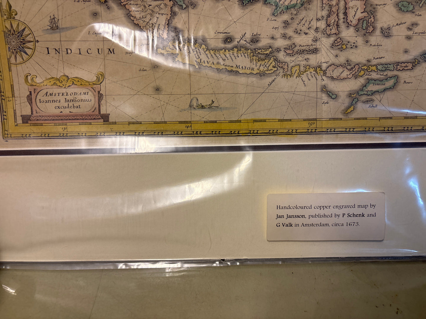
Insularum Indiae Orientalis - Janssonius, c1650
Insularum Indiae Orientalis - Janssonius, c1650
Drawn/Published by: Johannes Janssonius
Location: Amsterdam
Year: c. 1650
From: Atlas Novus
Condition: Features elegant period outline color, mat board
A Definitive Map of the Dutch Golden Age
This mid-17th-century engraving by Johannes Janssonius is one of the most famous and influential maps of Southeast Asia. Produced in Amsterdam during the height of the Dutch East India Company’s (VOC) maritime dominance, it served as a primary reference for the "Spice Islands" and the vast archipelago connecting the Indian Ocean to the Pacific.
Early Australian Discoveries
This specific version (State 2) is highly prized by collectors for its inclusion of "Carpentaria"—the northern coastline of Australia. It represents one of the earliest printed records of Dutch explorers’ 17th-century encounters with the Australian continent, transitioning the region from a mythical "Southern Land" into a documented reality.
The Singapore & Regional Context
- Singapore (Sincapura): Clearly marked at the southern tip of the Malay Peninsula, the island is depicted as the strategic pivot point for all trade passing into the South China Sea.
- Maritime Empire: The map tracks the vital trade routes between the Malay States, the Philippines, and the Moluccas, documenting the era when the Dutch were successfully challenging Portuguese influence in the region.
- Artistic Precision: The map is noted for its balanced composition, featuring two baroque cartouches and a detailed rendering of the archipelago’s complex geography, all preserved through high-quality Dutch engraving.