Treasures of the Orient
Map of the Kingdoms of Siam and Cochin China - Walker, 1828
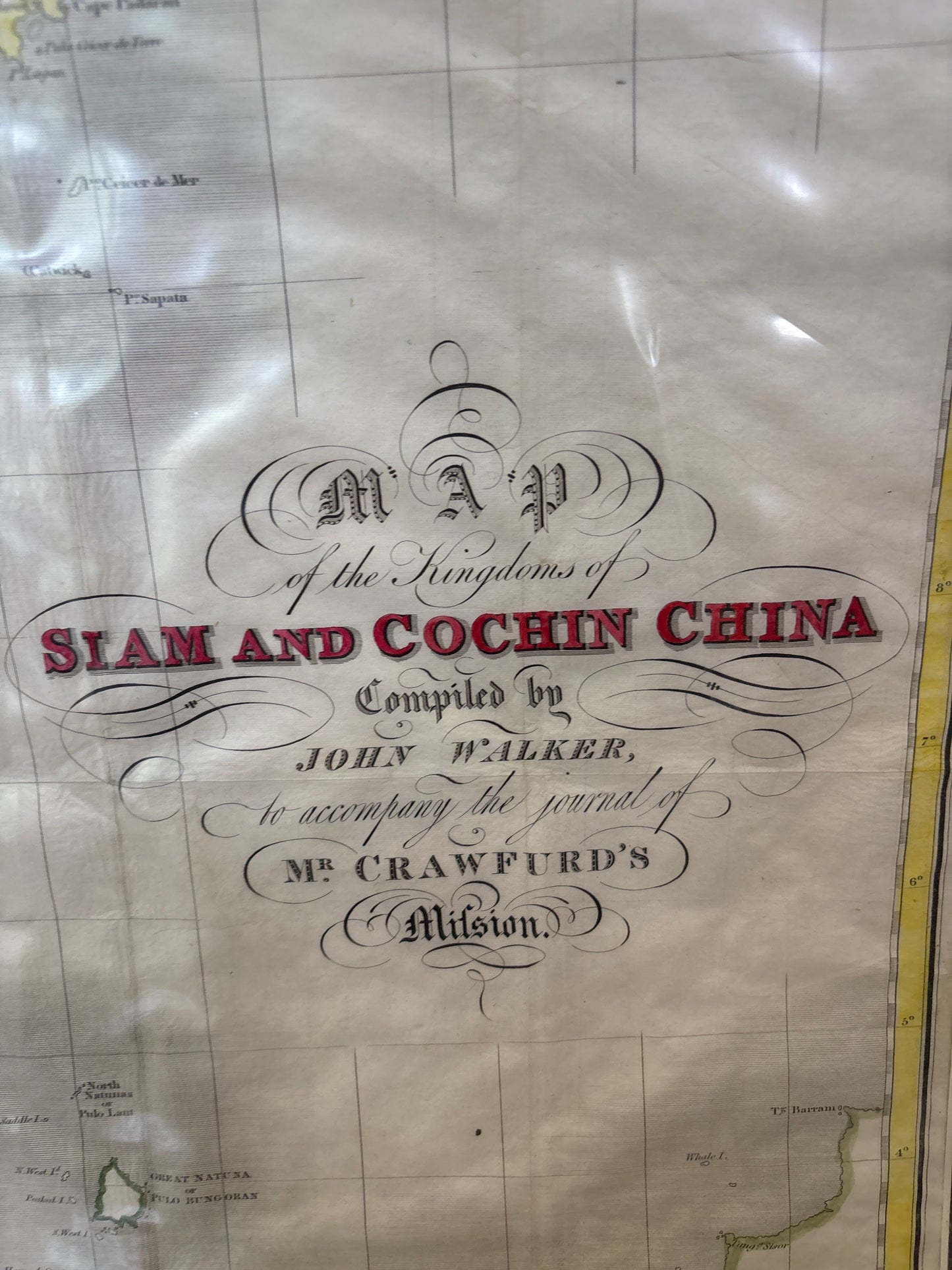
Map of the Kingdoms of Siam and Cochin China - Walker, 1828
Map of the Kingdoms of Siam and Cochin China
Drawn by: John Walker (Compiled for John Crawfurd)
Published in: London by Henry Colburn
Year: 1828
From: Journal of an Embassy from the Governor-General of India to the Courts of Siam and Cochin China
Condition: Outline colouring, unframed
A Definitive 19th-Century Survey of Southeast Asia
This 1828 engraving by the esteemed cartographer John Walker is one of the most comprehensive geographic records of the Indochinese Peninsula from the early 19th century. Based on the scientific observations of John Crawfurd during his 1821–1822 mission, the map represents a significant shift from speculative early charts to modern, data-driven cartography.
Geographic Detail and Regional Scope
The map provides an expansive view of the sophisticated kingdoms of the era, detailing:
- The Kingdoms of Siam & Cochin China: Meticulous charting of the Chao Phraya River leading to Bangkok, as well as the coastal regions of modern-day Vietnam and its imperial capital, Hué.
- The Malay Peninsula: A detailed rendering of the various Malay States, providing a clear picture of the political landscape of the peninsula at the time.
- The Singapore Connection: At the southern tip, the map identifies the young settlement of Singapore. This inclusion is particularly noteworthy as it captures the island during the transition period between its founding and its formal recognition as a British territory in 1824.
Scientific Significance
Unlike many contemporary maps, Walker’s work utilized firsthand maritime surveys and astronomical readings. It serves as a vital historical bridge, documenting the established local powers and the burgeoning maritime nodes—like Singapore—that were beginning to define the region’s future as a global crossroads.