Treasures of the Orient
New Zealand/West Australia/Tasmania - Petermann 1880
New Zealand/West Australia/Tasmania - Petermann 1880
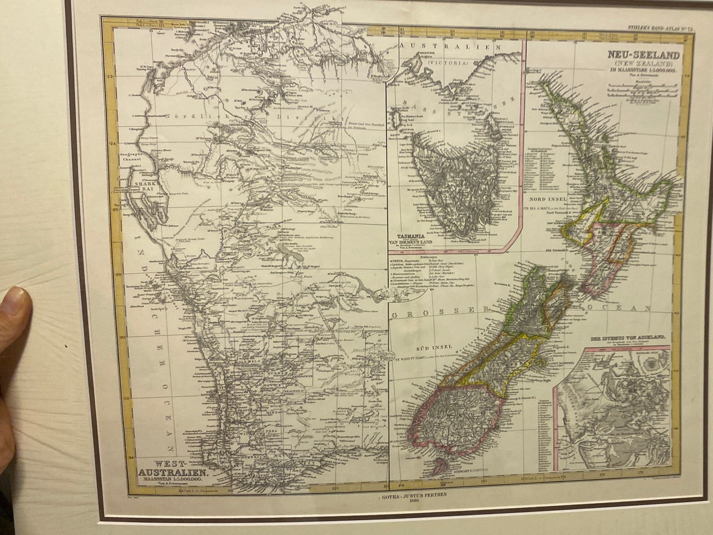
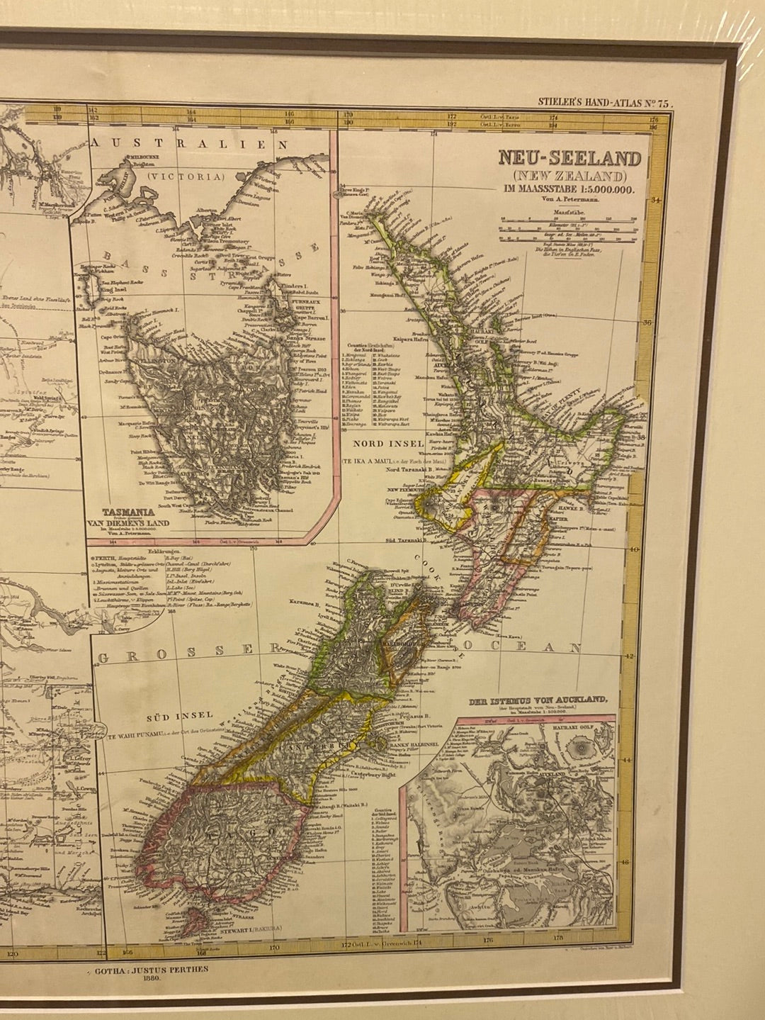
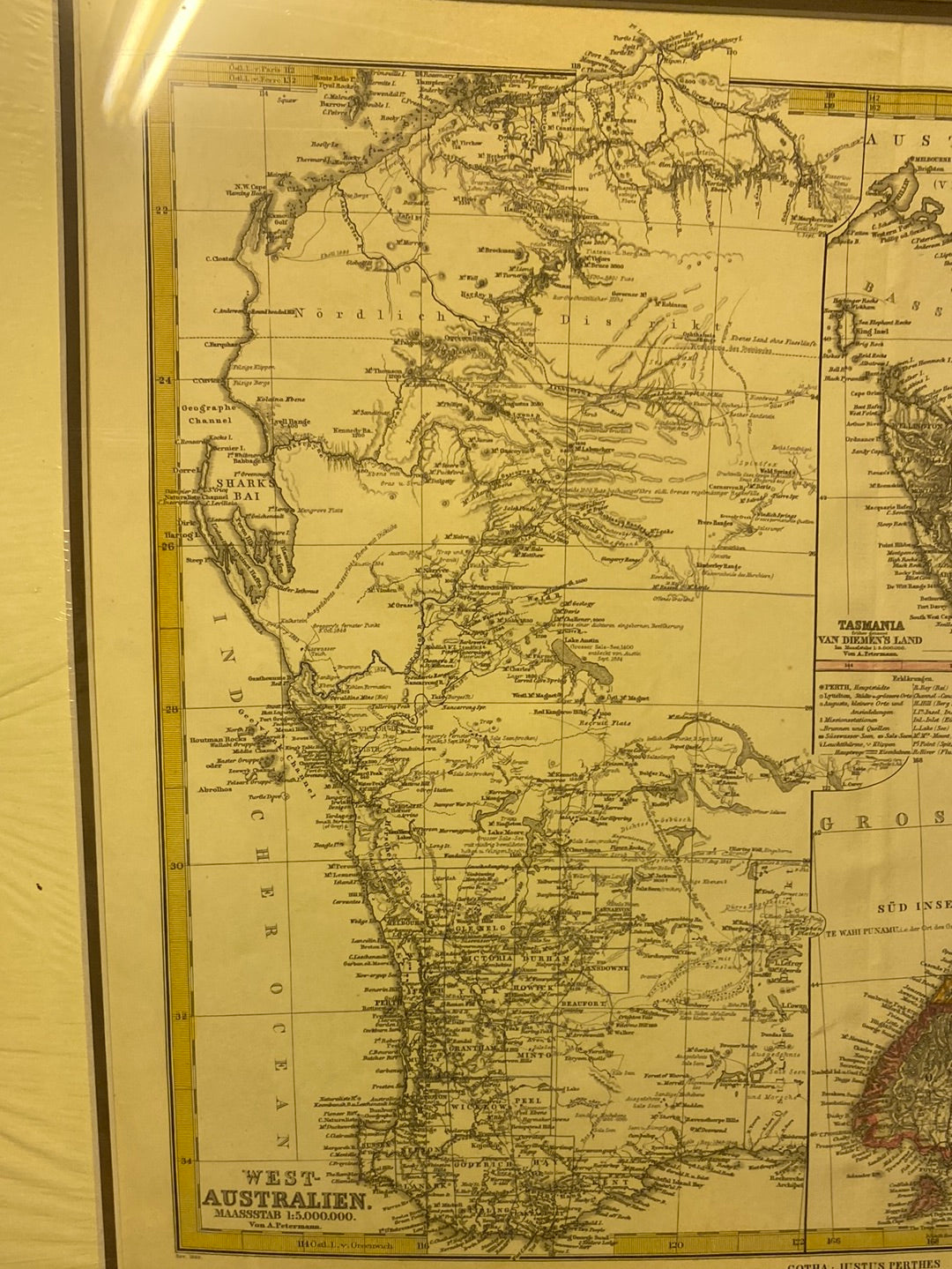
Title: West-Australien / Neu-Seeland (New Zealand)
Cartographer: August Petermann (for Adolf Stieler)
Published: Gotha: Justus Perthes, 1880
Technique: Steel or copperplate engraving with original outline hand-coloring
Description: This scientific and sophisticated map, plate No. 59 from the renowned Stieler’s Hand-Atlas, provides a comprehensive look at Western Australia and New Zealand during a period of intense exploration and settlement. The map is divided into two primary sections: the left half details the vast coastline and early districts of Western Australia (from Shark’s Bay down to the Great Australian Bight), while the right half features a detailed topographic map of both the North and South Islands of New Zealand.
The cartography is the work of August Petermann, one of the most celebrated geographers of the 19th century, known for his precision and the inclusion of the latest explorers' tracks. Notable features include an inset of Tasmania (Van Diemen's Land) and a specific topographical inset of the Isthmus of Auckland. The map utilizes hachuring to indicate mountainous terrain and provides a wealth of data on early townships, rivers, and coastal soundings.
-
Authenticity: Original 1880 engraving from the 7th edition of Stieler's Atlas.
-
Condition: Excellent, with crisp typography and delicate hand-tinted borders.
-
Key Detail: Includes the Auckland Isthmus inset, which is highly sought after by local New Zealand collectors.