Treasures of the Orient
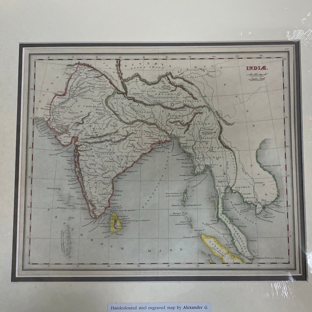
INDIÆ - Findlay 1847
INDIÆ - Findlay 1847
Indiae (India)
Drawn by: Alexander George Findlay (Fellow of the Royal Geographical Society)
Published in: London by William Tegg & Co.
Year: 1847
From: A Classical Atlas to Illustrate Ancient Geography
Condition: Hand-coloured steel-engraved map; original hand coloring.
A Victorian Vision of Ancient India
This skillfully constructed 1847 map by Alexander G. Findlay is a premier example of 19th-century historical cartography. Unlike contemporary political charts of the British Raj, this map was designed to illustrate the Indian subcontinent as it was understood by the ancients, using Latin toponyms to bridge the gap between classical scholarship and Victorian geographic precision.
Historical and Geographic Scope
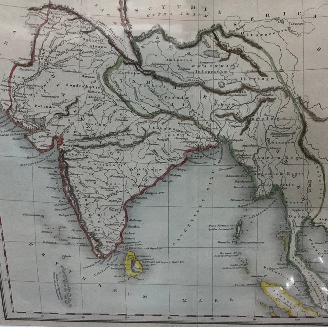
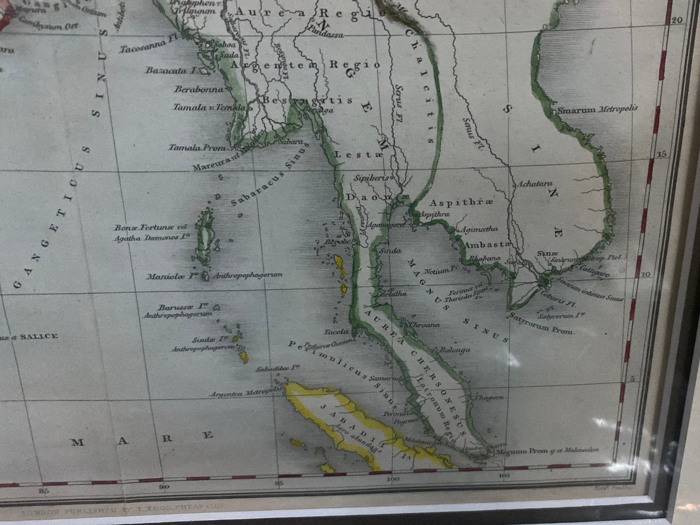
- Ancient Topography: The map meticulously charts the subcontinent, detailing ancient mountain ranges, rivers, and tribal territories. Notable regions include India Intra Gangem (India within the Ganges) and India Extra Gangem (India beyond the Ganges, referring to Southeast Asia).
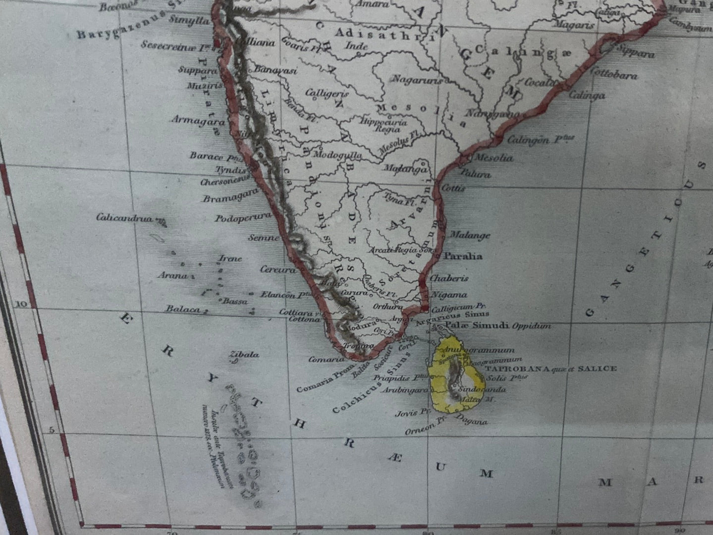
- Classical Identifications: It features historical names like Taprobana (Sri Lanka) and the Sinus Gangeticus (Bay of Bengal), reflecting the geographic knowledge of scholars like Ptolemy.
- The Southeast Asian Reach: The map extends its view to the Aurea Chersonesus (the Golden Chersonese), the classical name for the Malay Peninsula, highlighting the region's long-standing strategic importance in world trade.
The Cartographer's Legacy
Alexander Findlay was a prolific geographer and a close friend of Dr. Livingstone. His work is celebrated for its clarity and scientific dedication. This piece, with its delicate steel-plate engraving and vibrant hand-colouring, remains a significant record of the 19th-century obsession with rediscovering the classical roots of global geography.
